Module 7: Putting it all together (large-scale raster products)
If you are interested in learning to use LiDAR for forestry and natural resources, this tutorial can help you get started. You will learn to create products for very large areas, deal with edge effects, and use parallel processing for fast analyses!
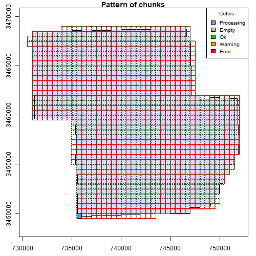
Module 6: Speed up your analyses: Parallel processing with LAScatalog

If you are interested in learning to use LiDAR for forestry and natural resources, this tutorial can help you get started. You will learn to work with large LiDAR datasets, set processing options, and learn how to deal with edge effects. These skills will help you analyze large areas seamlessly!
Module 5: Speeding up your analyses: Reduced datasets
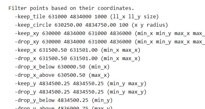
If you are interested in learning to use LiDAR for forestry and natural resources, this tutorial can help you get started. You will learn ways to help speed up and super charge your LiDAR analyses. This tutorial covers how to create spatial indexes for loading reduced datasets, subsetting to smaller scenes, and creating lower density point clouds.
Module 4: Putting it all together: Asking ecological questions
If you are interested in learning to use LiDAR for forestry and natural resources, this tutorial can help you get started. You will learn to extract data from lidar products like canopy size, tree locations, and elevation. You will also build a statistical model from lidar data to answer ecological questions
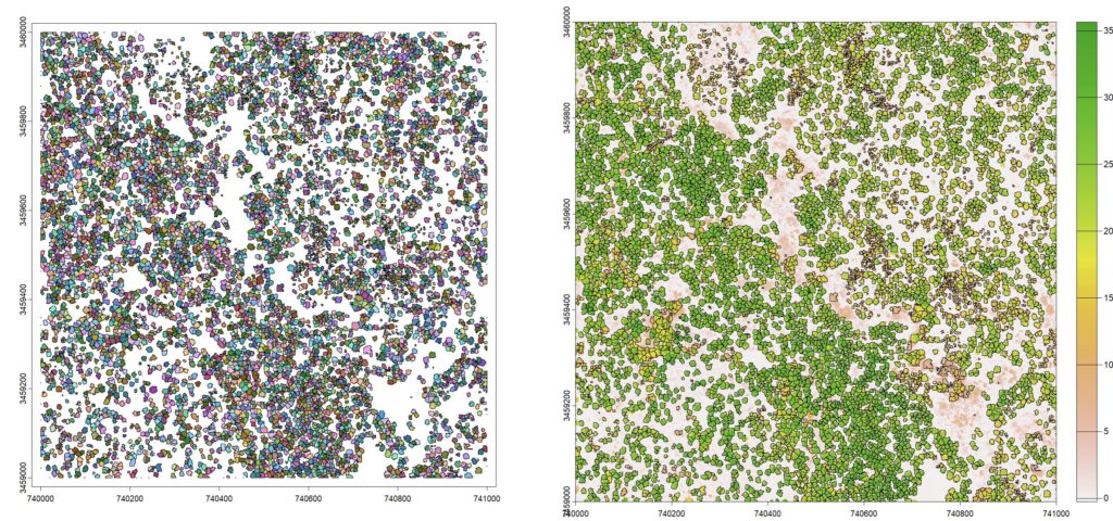
Module 3: Mapping trees from aerial LiDAR data
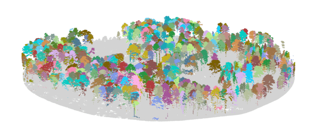
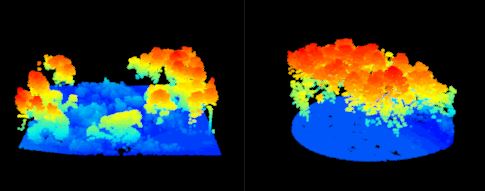
If you are interested in learning to use LiDAR for forestry and natural resources, this tutorial can help you identify tree locations, segment trees and estimate tree size, and turn a lidar point cloud into a stem map!
Module 2: Creating raster products from point clouds

If you are interested in learning to use LiDAR for forestry and natural resources, this tutorial can help you get started. You will learn to create raster products like digital elevation models and canopy height models. The tutorial also covers how to make your own custom functions to analyze LIDAR data.
Module 1: Getting started with LiDAR processing for forestry and natural resources
If you are interested in learning to use LiDAR for forestry and natural resources, this tutorial can help you get started. You will learn to view large datasets, create raster products, map trees, and more!