Module 7: Putting it all together (large-scale raster products)
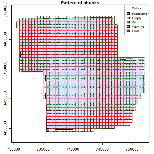
If you are interested in learning to use LiDAR for forestry and natural resources, this tutorial can help you get started. You will learn to create products for very large areas, deal with edge effects, and use parallel processing for fast analyses!
Module 4: Putting it all together: Asking ecological questions
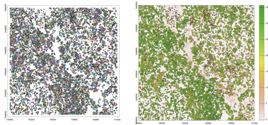
If you are interested in learning to use LiDAR for forestry and natural resources, this tutorial can help you get started. You will learn to extract data from lidar products like canopy size, tree locations, and elevation. You will also build a statistical model from lidar data to answer ecological questions
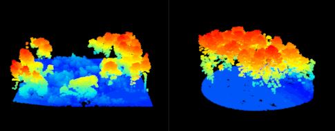
Module 2: Creating raster products from point clouds

If you are interested in learning to use LiDAR for forestry and natural resources, this tutorial can help you get started. You will learn to create raster products like digital elevation models and canopy height models. The tutorial also covers how to make your own custom functions to analyze LIDAR data.
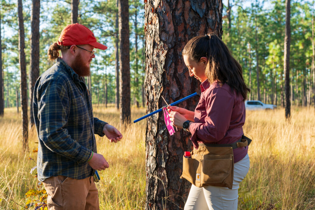
Module 1: Getting started with LiDAR processing for forestry and natural resources
If you are interested in learning to use LiDAR for forestry and natural resources, this tutorial can help you get started. You will learn to view large datasets, create raster products, map trees, and more!
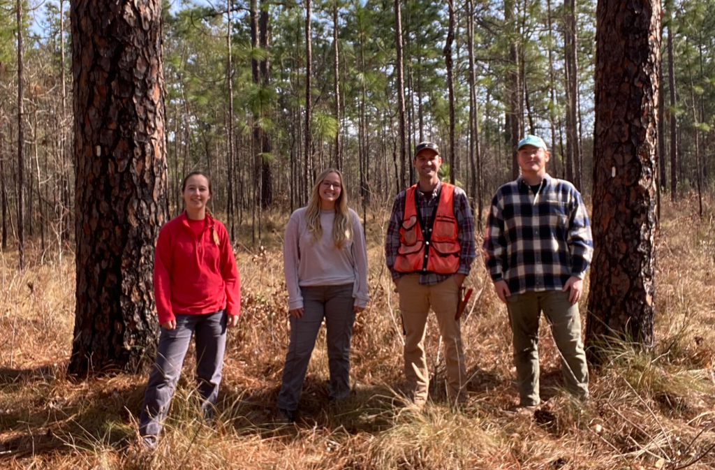
Now hiring: Landscape Ecology Research Technician
We are seeking applicants from motivated individuals for a Seasonal Research Technican to help with upcoming studies on disturbance ecology and restoration in longleaf pine! Applications are due April 5, 2024.
Ichauway Forest Dynamics Plot included in global Smithsonian network
The Ichauway Forest Dynamics plot is a 40 acre research plot in a longleaf pine-oak woodland which consists of 18,000+ mapped trees over 1 cm in diameter. The new infastructure will support long-term research in longleaf pine and fire dynamics in the southeastern U.S.
Sen. Ossoff visits Ichauway, launches bill to improve data collection
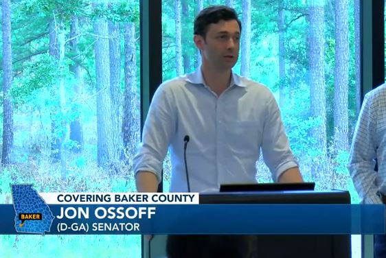
Sen. Jon Ossoff visited the Jones Center at Ichauway to announce a bill that would improve data collection efforts of the US Forest Service. The new bill would authorize USFS to collect data on above and below ground carbon and adopt new technologies such as lidar. The bill is expected to improve data collection within the USFS Forest Inventory and Analysis.
New study: Measuring complex forests with airborne lidar

A recent study from the Landscape Ecology lab led by Andy Whelan explores a new approach to improve large-scale measurements of forest structure using lidar. The study explored the use of “volumetric pixels” (or voxels) which have shown promise for forest measurement. The technique led to accurate estimates of wood volume, even when forest composition was unknown.