Module 3: Mapping trees from aerial LiDAR data
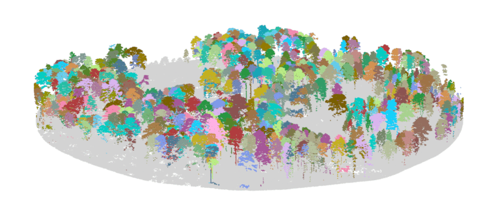
If you are interested in learning to use LiDAR for forestry and natural resources, this tutorial can help you identify tree locations, segment trees and estimate tree size, and turn a lidar point cloud into a stem map!