ForestSAT2026: Special Session: Applying New Technologies to Forest Hurricane Research
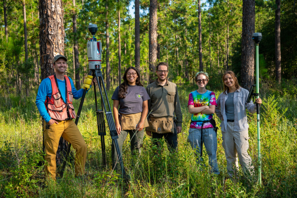
The Jones Center Landscape Ecology Lab is hosting two sessions on hurricane-resilient forests at ForestSAT2026 (May 4-8, Gainesville, FL). Eight presentations showcase terrestrial lidar, UAV, and satellite remote sensing innovations for understanding forest resilience to intensifying tropical cyclones. Researchers from across the southeastern United States will present cutting-edge work on hurricane-adaptive canopy traits, wind disturbance impacts, damage assessment using deep learning, and ecological recovery.
New Study: Terrestrial lidar provides accurate and objective measures of crown scorch

A new study from our lab shows that terrestrial LiDAR scanning (TLS) can measure crown scorch in longleaf pine with unprecedented speed and objectivity. TLS provides high-resolution, quantitative estimates of fire-caused crown damage—at least 20× faster than traditional ocular methods. The CrownScorchTLS R package makes these tools accessible for researchers and land managers, enabling more precise, mechanistic studies of fire impacts on forests.