
New Study: Modeling smoke exposure from burn permits
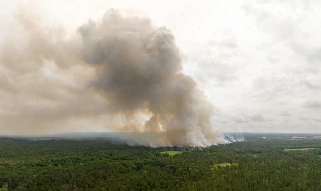
Prescribed fire is essential for forest management, but estimating its smoke impacts remains a challenge. Our lab contributed to a new study creating a novel way of estimating smoke exposure from burn permit geodatabases by integrating them with atmospheric and chemical transport models to improve PM2.5 estimates from Rx burns. The permit-based approach captures small, short-lived burns often missed by satellites and allows exploring new ways to reduce smoke emissions overall
New Study: Spaceborne lidar advances global forest monitoring
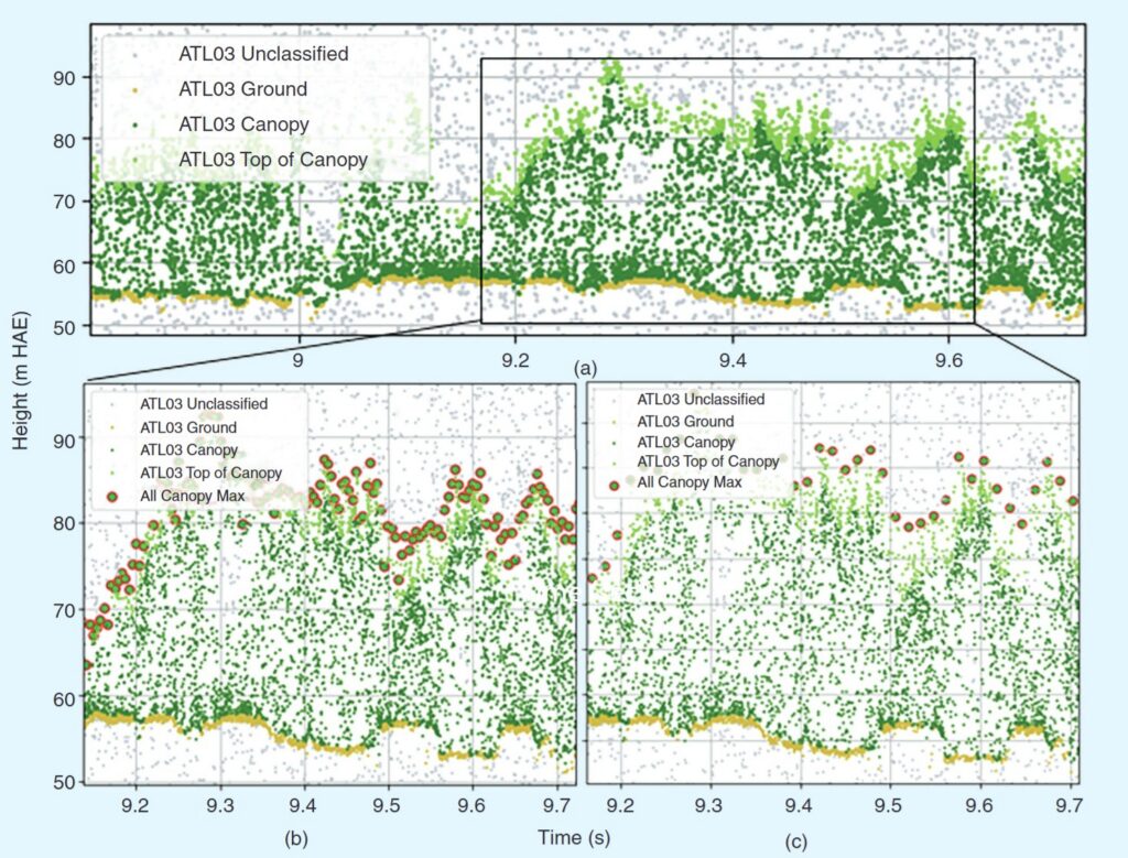
The Jones Center Landscape Ecology lab joined a global research team to synthesize research on NASA’s ICESat-2 spaceborne lidar mission and its applications for forest vegetation monitoring beyond its initial mission for ice monitoring. The team analyzed 293 studies and identified both current uses and emerging opportunities for combining satellite data to better understand forests, fire ecology, and environmental change.