Now hiring: Landscape Ecology Geospatial Analyst

We are seeking motivated individuals to apply for a Geospatial Analyst position to contribute to research and development that will improve forest conservation efforts in the southeastern US. Both remote and in-person candidates will be considered. The successful applicant will integrate cutting edge technologies (UAV and lidar), field experiments, and data science techniques to contribute to collaborations with conservation agencies and research partners. The position will work in a team setting with staff of the Landscape Ecology lab at the Jones Center at Ichauway. Applications reviewed immediately.
Seed collection efforts expand
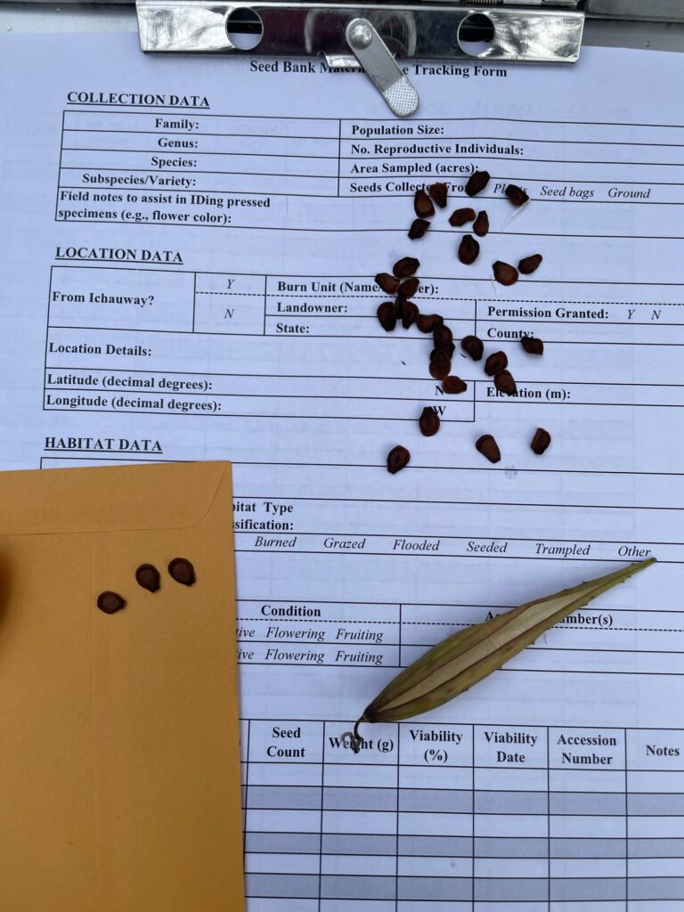
The Jones Center became an Institutional Partner of the Center for Plant Conservation (CPC) in 2024 and collaborated with CPC and the Florida Natural Areas Inventory to make our first-ever seed collections in Florida as part of the Florida Plant Rescue (FLPR) program. FLPR’s goal is “to secure and safeguard Florida’s rare plant species in […]
Side-Scan Sonar Training with USFWS
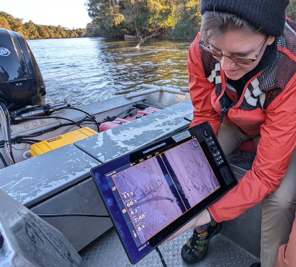
Last month we had the privilege of hosting Dr. Adam Kaeser and Jake Roush of the Panama City US Fish and Wildlife Conservation Office. Adam is currently the Gulf Sturgeon Recovery Lead for the Service but has roots here in the lower Flint River basin (LFRB) after starting his research career as a Fisheries Biologist […]
Lab’s fire research featured on Fire Ecology Chats Podcast (Ep. 36)
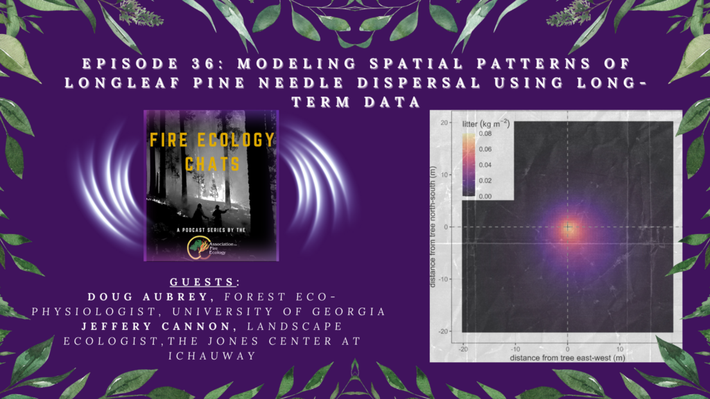
In this episode of Fire Ecology Chats, Fire Ecology editor Bob Keane speaks with Doug Aubrey and Jeffery Cannon about better predicting the leaf litter component in a pine forest to better understand how fire might move through forests under different management scenarios.
Wrapping a Busy Fall in the Aquatic Sciences Lab
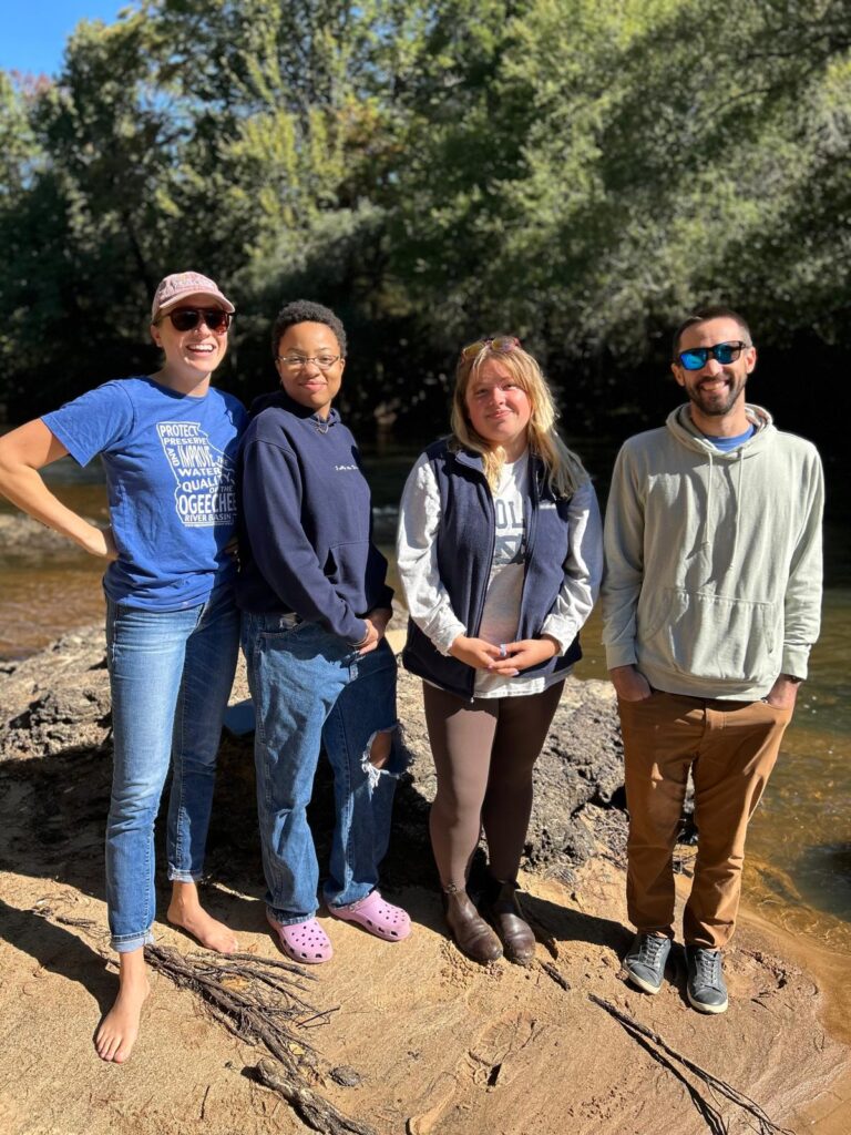
The Aquatic Sciences Lab at the Jones Center is happily exhausted on this first proper cold day in SW GA! As we near the end of the lab’s first year, we have made lots of progress and collaborations to report on, many happening in the last few weeks. We have our first exchange of personnel […]
Webinar: Future directions for hurricane disturbed forests

This webinar features a panel of experts in silviculture, forest economics, management, and disturbance to discuss challenges and opportunties for resarch and outreach related to hurricane disturbaed forests.
Featured speakers include Dr. Christine Cairns Fortuin, Dr. Jeffery Cannon, Dr. Robert Chastain, Dr. Michael Crosby, Dr. Jesse Henderson, Dr. Bruno Kanieski da Silva, Dr. Adam Polinko, and Dr. Shaun Tanger.
Recruiting: PhD Student, Fall 2025 @ UNC
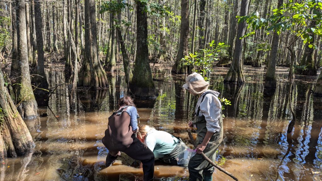
We’re recruiting a PhD student! With Dr. Amanda DelVecchia at UNC-Chapel Hill, we are looking for a student to study methane dyanmics in the isolated wetlands at Ichauway. Projects will include (but not limited to): methanogenesis, methanotrophy, methane emissions, methane in food webs, and upscaling See more details on the Prospective Students page and Dr. […]
Diel Sampling for Nitrogen
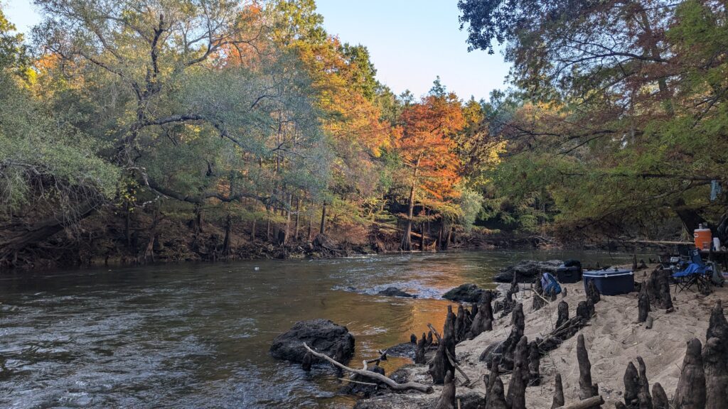
Last week, we were thrilled to host Abagael Pruitt and Ryan Meyer, both PhD students in the Tank Lab at Notre Dame. Like the Jones Center, the Tank lab has research interest in streams and rivers embedded in agricultural landscapes and the interaction of land-use on water quality and biogeochemistry. In this visit, we focused […]
New methods in methane dynamics in isolated wetlands!
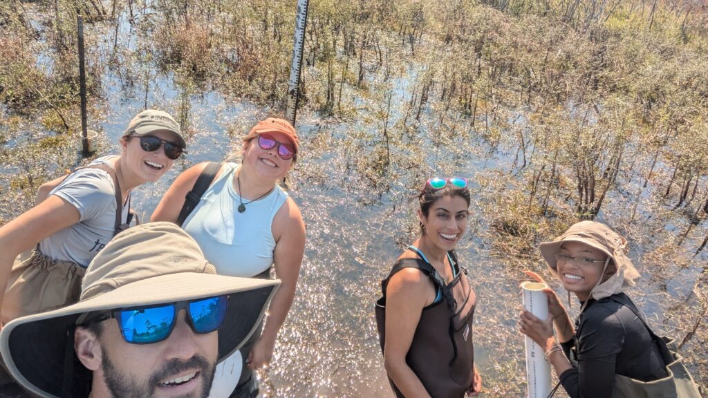
The week of October 14th, we thrilled to host Dr. Amanda DelVecchia, from the Department of Geography at UNC-Chapel Hill. In addition to delivering an excellent Lord of the Rings themed greenhouse gas dynamics seminar on Tuesday afternoon, we focused on developing new methods of measuring methane oxidation and methanogenesis from geographically isolated wetlands at […]
Longleaf Alliance: Lab Studies in Hurricane Ecology

Join the members of the Jones Center Landscape Ecology Lab as we present our latest research at the 15th Biennial Longleaf Conference, taking place from October 7 to 11, 2024, in Miramar Beach, Florida.
Presentations from our lab will focus on hurricane ecology in longleaf pine, considerations for management hurricane risk to longleaf pine ecosystems, and two lab members will debut work on hurricane ecology using dendrochronological and remote sensing techniques